Aerial Mapping

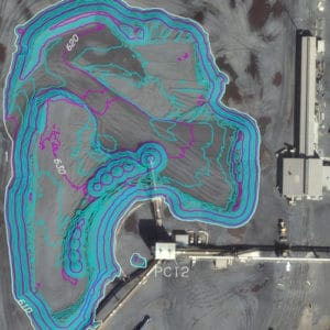
Medium to low altitude photography, coupled with precision stereo plotting equipment, allows AMT to map from just a few acres to thousands of acres, all with extreme accuracy, detail and economy. Photogrammetry is ideally suited for mapping normal, unusual or inaccessible sites.
Aerial Services
Aerial photography
Photographic enlargements / products
Aerotriangulation
Digital mapping
Topographic surveys
Data conversion / translations
GIS database
Digital orthophotography
Volumetrics