Frankenmuth Levee Improvements
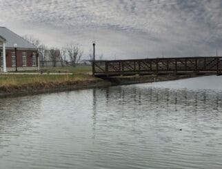
A significant portion of the downtown district in the City of Frankenmuth is protected by a levee/dike flood control system originally built by the U.S. Army Corps of Engineers (USACE).
According to current FEMA levee regulations, some sections of this levee system do not currently provide sufficient freeboard above the current base flood elevations on the Cass River. However, the historical data and methods used to previously establish these elevations were outdated.
The City of Frankenmuth contracted Spalding DeDecker (SD) to update statistical analyses of USGS stream gauge data (i.e., flood flow rates) using the HEC-SSP computer program. HEC-SSP generated updated flood discharges along the Cass River.
SD utilized the flood flow rates to also revise the 100-year flooding levels along the Cass River on FEMA’s Flood Insurance Rate Maps using the HEC-RAS computer program.
As part of the levee certification process, SD also prepared a model of the City’s storm sewer system tributary to a stormwater pumping station using information from the City’s existing GIS system and field observations and survey data collected by SD. The EPA’s Stormwater Management Model, Version 5.0 (SWMM5) computer program was utilized for the storm sewer system analysis.
The SWMM5 model showed that some local ponding is predicted for a 100-year design storm and the stormwater pumping station is adequate in handling the peak flow rates and minimizing flooding on the interior of the levee.
Based upon the study phase work and associated hydrologic/hydraulic computer modeling of the Cass River and storm sewer system behind the levee described above, SD also designed a required levee and embankment improvements to accredit the levee system with FEMA.


