May Creek Greenway Pedestrian Path
The Project
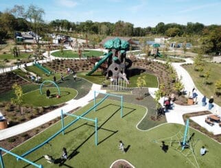
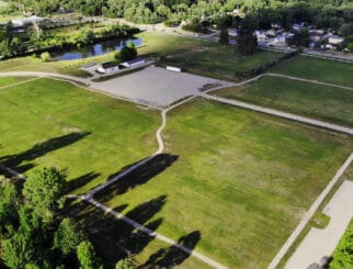
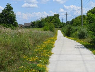
The May Creek Greenway pedestrian pathway will connect the westerly end of the Detroit Riverwalk to Ford Central Station (formerly Michigan Central Station).
Our Services
Spalding DeDecker provided topographic surveys, ALTA/NSPS Land Title Surveys, easement exhibits, and a contiguous 3D point cloud along the proposed May Creek Greenway.
The Challenge
This project presented challenges for each task. The topographic mapping consisted of acquiring mapping information in hard to measure areas, such as below-grade railroad tracks and tunnel openings and over and under three city bridges, as well as heavily vegetated areas. Since this path is for safe pedestrian use, utility locations, bridge clearances, and railroad retaining wall mapping was crucial for the design of this project. The property ownership and ALTA Surveys required extensive research into title work, legal descriptions, street and alley vacations, easements, and other property related documents. Many of the property related documents were more than 100 hundred years old. Any gaps in legal descriptions and property ownership had to be identified and resolved to ensure that one contiguous boundary could be calculated for the proposed pathway. We were then able to create easement exhibits for each individual parcel along the proposed May Greenway.
The Solution
We used 3D laser scanning along with conventional survey methods to preform topographic mapping and collect boundary data for the length of the corridor. Laser scanning this project allowed us to measure features in inaccessible areas such the railroad right-of-way, fenced off properties, and bridge under clearances. We were able to share the point cloud data with the client through a web browser that enabled them to view the existing site conditions without visiting the site.
The Impact
The client was able to make adjustments to the proposed pathway alignment using the point cloud and quickly identify problem areas in the design process.


